GIS & Remote Sensing
Home / GIS & Remote Sensing
Comprehensive GIS & Remote Sensing Services
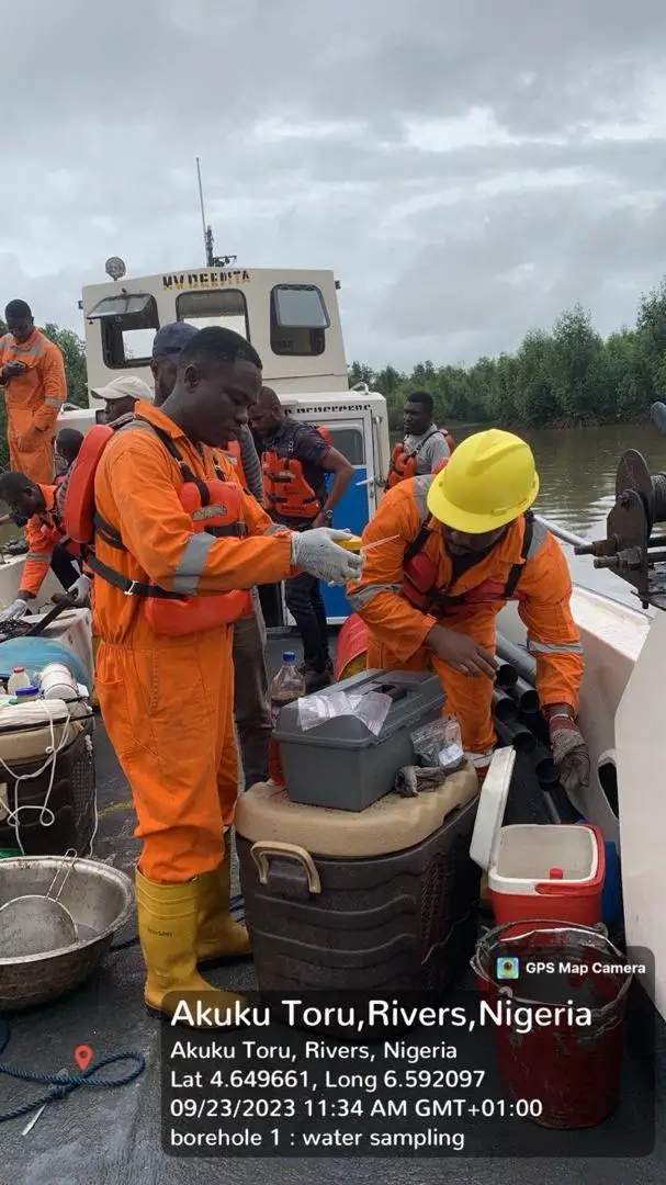
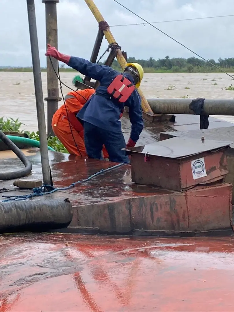
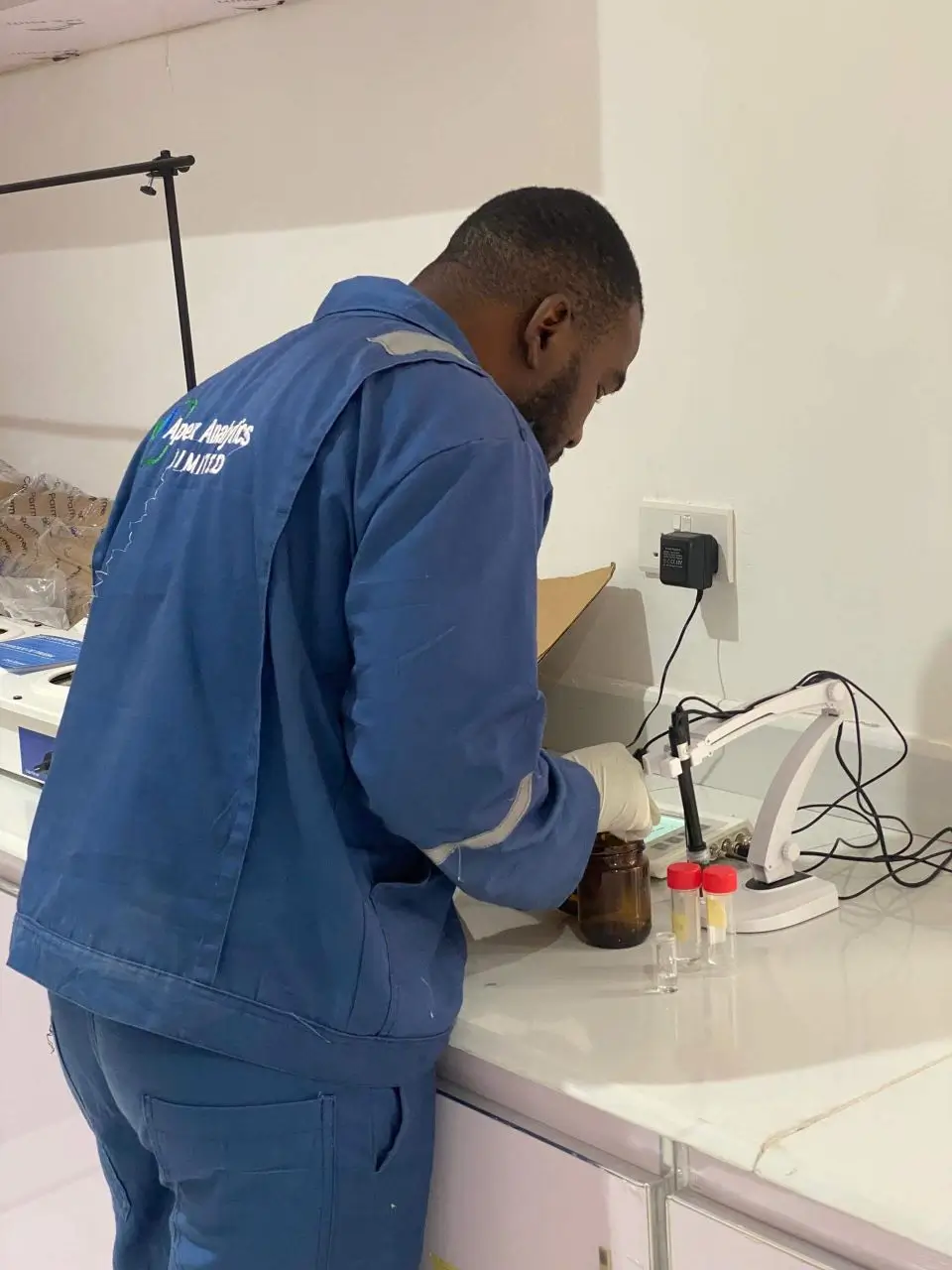
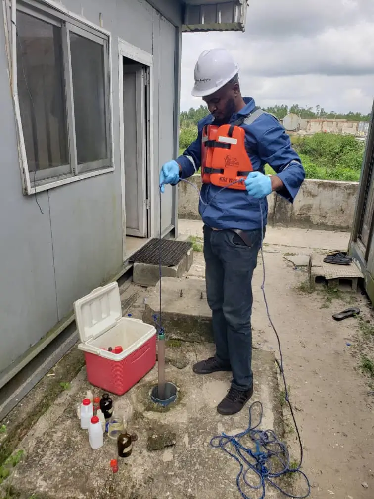
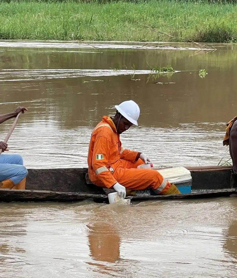
Our GIS and Remote Sensing services provide advanced spatial analysis and mapping solutions to support environmental studies, infrastructure planning, and resource management. Using satellite imagery, LiDAR, and drone-based surveys, we deliver high-resolution data and actionable insights for decision-making.
We specialize in digital terrain modeling, environmental mapping, and geospatial analytics, helping clients reduce risks, optimize operations, and ensure compliance with regulatory and sustainability standards.
-
High-resolution satellite and drone imagery acquisition
-
Digital Terrain Modeling (DTM) and LiDAR processing
-
Land use and land cover classification
-
Environmental and ecological mapping
-
Infrastructure and asset mapping
-
Geospatial database development and management
-
Custom geospatial analysis and modeling
-
Integration with environmental and engineering studies
Satellite-based insights for regional and global projects.
Accurate geospatial data for planning and assessments.
LiDAR and drone tech for detailed topography.
Geospatial analytics to inform smarter decisions.
Proven Expertise
Shaping Sustainable Solutions
At Apex Analytics, our projects go beyond delivering reports—we create measurable impact. From environmental assessments to geotechnical surveys and sustainability programs, we partner with clients to achieve compliance, resilience, and long-term value.
At Apex Analytics, we combine science, innovation, and integrity to provide reliable testing and consulting for a cleaner, safer future
© 2017 — APEX ANALYTICS LIMITED. All Rights Reserved | Designed by PBlaze Graphics